


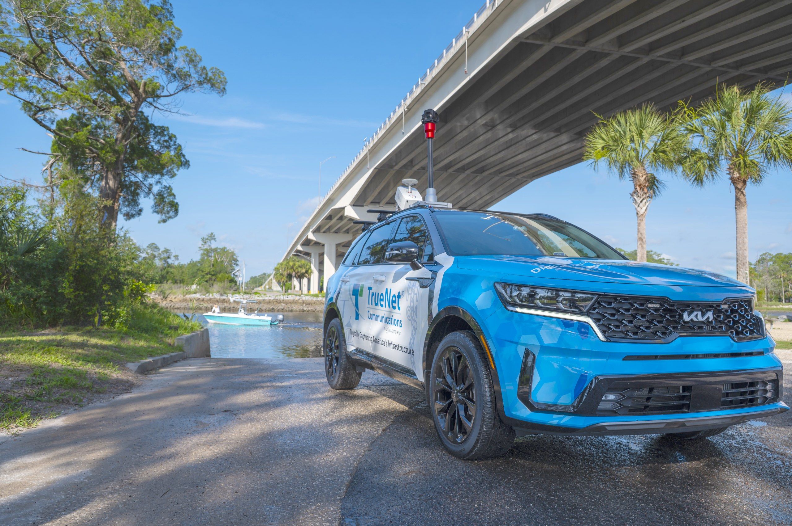
High-accuracy LiDAR, photogrammetry and 3D spatial data for telecom and critical infrastructure, ready for engineering, permitting, construction and asset management.
- Scope
- Mobile LiDAR, drone LiDAR and photogrammetry
- Equipment
- Our own LiDAR and photogrammetry platforms
- Processing
- In-house, from capture through delivery
- Delivered as
- Survey-grade, engineering-ready datasets
Watch it scan
From the road to the deliverable.
Two laser heads sweep a highway interchange as the truck drives every loop. Every dot is one laser return, placed where it hit. Beside it, the same points become the map: poles, wires and road edges, pulled out and measured.
Explore a point cloud
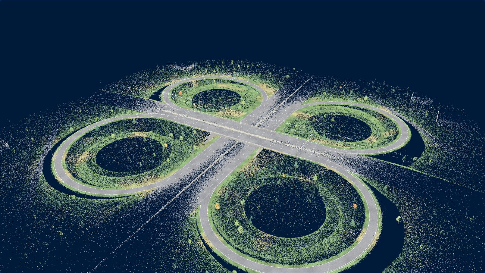
It looks like a photo. It's measured points.
This is the whole interchange the truck above is scanning. Spin it, tilt it, zoom in. Every surface is a point with a position, ready to measure.
Loading the 3D view…
Drag to orbit · scroll or pinch to zoom · right-drag or two fingers to pan
What we do
Turnkey data capture, engineering-ready.
Our rigs capture the corridor at highway speed: roadway, utilities, structures and terrain, in 3D. AI-assisted feature extraction and our own specialists turn it into data your engineers can design from, without another trip to the field.
- Mobile LiDAR scanning (vehicle-mounted)
- Drone LiDAR scanning for aerial coverage
- Drone and ground-based photogrammetry
- High-resolution imagery collection
- Point cloud classification and cleaning
- AI-assisted feature extraction
- 3D model generation and digital twins
- GIS integration and deliverable packaging
Delivered as
- Topographic surfaces
- Structure models
- Clearance measurements
- Route mapping
- As-built documentation
One long-haul route, by the numbers
- 450+Miles of a Texas long-haul fiber route captured
- 10Days in the field to capture it
- 20+ TBOf LiDAR and imagery from that one route
Our equipment
Owned platforms, from the road to the air.
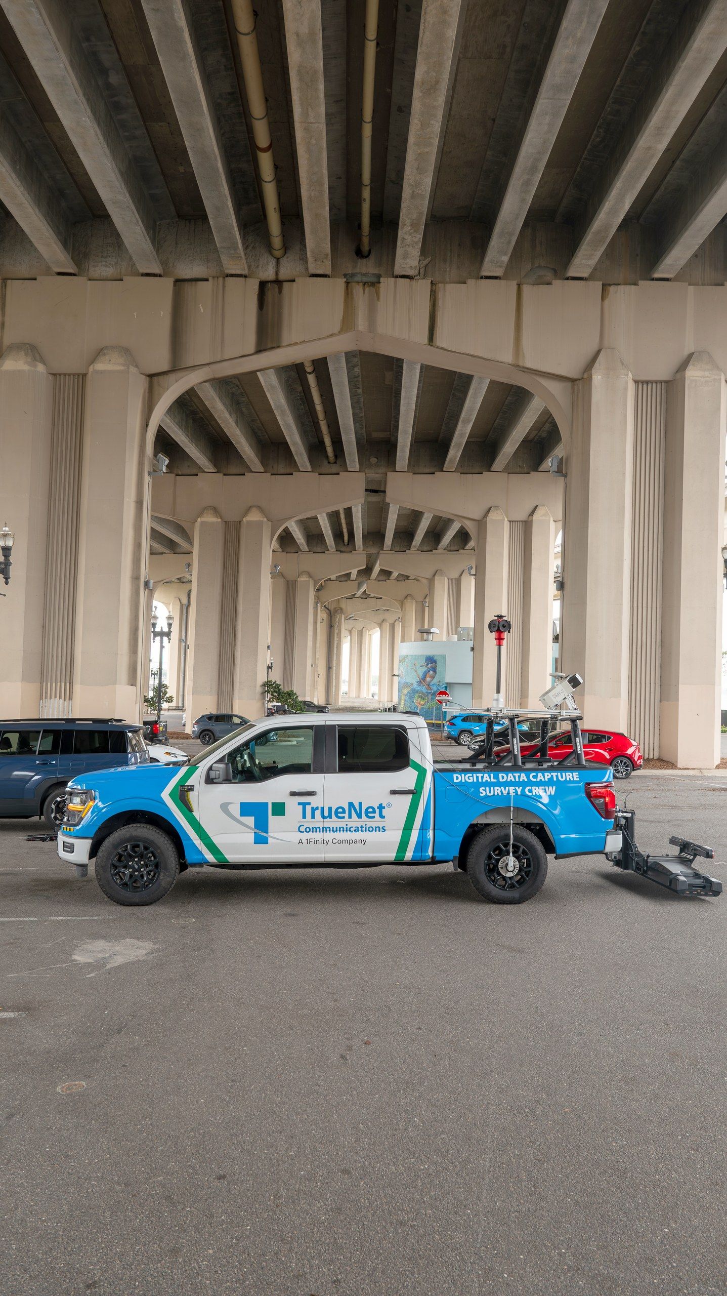
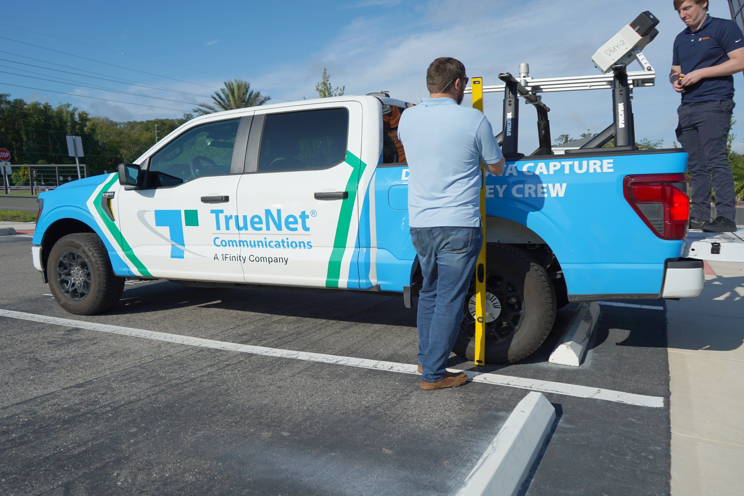
LiDAR survey truck
Our mobile LiDAR rig on a full-size pickup.
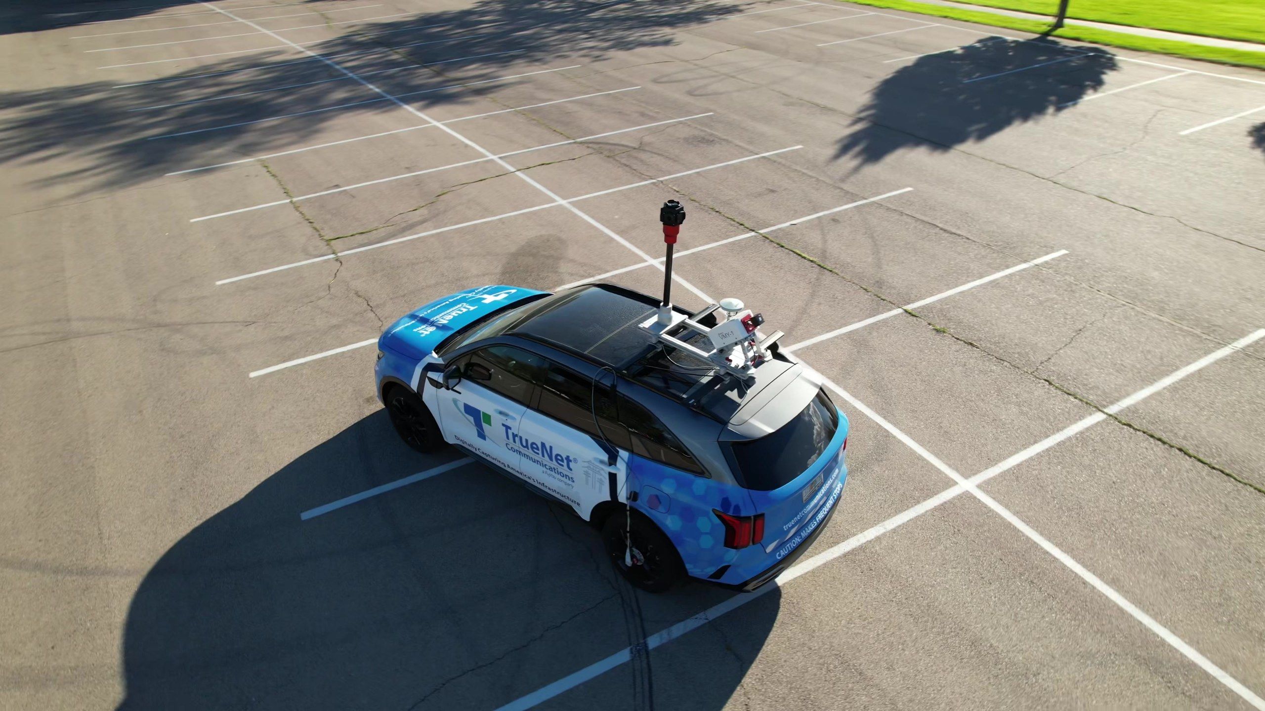
Mobile mapping SUV
The same mobile LiDAR rig on an SUV.
On both vehicles
- 72 MP 360° camera
- Dual laser head
- GNSS receiver
- DMI wheel encoder
…and from the air
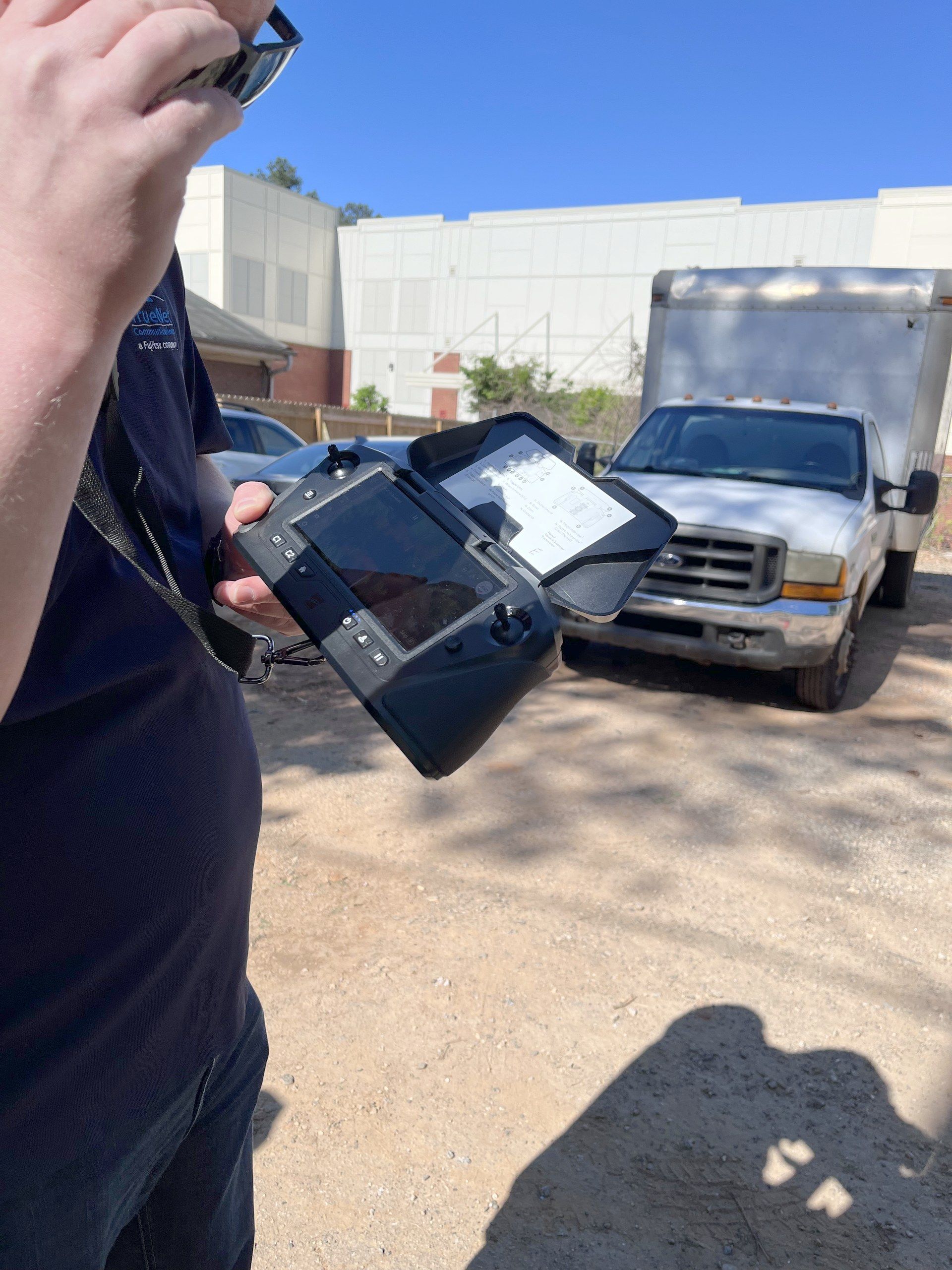
Drone capture
Drone LiDAR and photogrammetry for aerial coverage.
Where we've mapped
Corridors captured, mile by measured mile.
- Miles of mobile LiDAR
- 2,020+
- States
- 15
Captured in: Arizona · Arkansas · Florida · Georgia · Indiana · Iowa · Louisiana · Mississippi · Nevada · New Mexico · Ohio · Texas · Virginia · West Virginia · Wisconsin
Interactive: zoom to street level on every corridor, tap a route to fly to it.
Have a corridor to capture?Tell us where
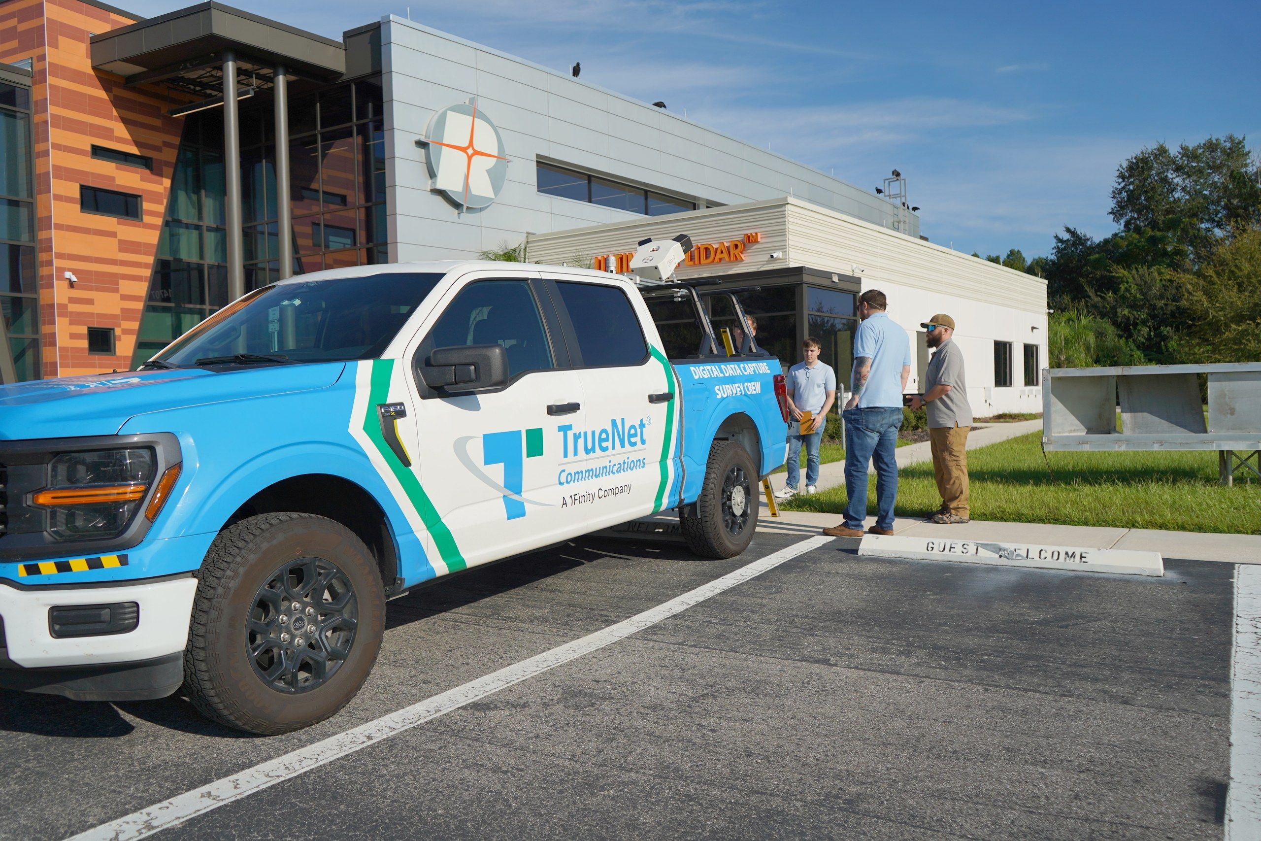
In the field
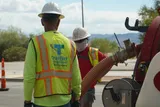
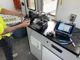
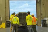
Our data capture team, on the job.
Why TrueNet data capture
Control of the data, from capture to delivery.
We operate our own LiDAR and photogrammetry platforms and do all processing in-house, so data quality stays in our hands from the first pass to the final file.
Our safety-first approach reduces field exposure, and the high-density datasets we deliver integrate with your team's workflows.
Problems we solve
Fewer trips back to the field.
For fiber operators and engineering firms, and anyone who needs to know exactly what's along a corridor: electric utilities, transportation agencies, municipal planners, right-of-way and vegetation management teams.
- 01
Incomplete or unreliable field data
- 02
Repeat site visits that delay programs
- 03
Safety risks of traditional fielding
- 04
Field collection holding up design and permits
- 05
Engineering and construction out of step
Facing one of these now? Tell us about the project